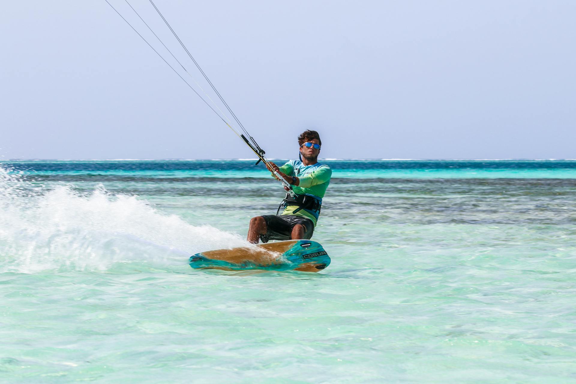
3 drills to nail your first transition
Step-by-step cues that build confidence and smooth out your turns.
Field Notes
Learn how to interpret forecasts, gust patterns, and thermal shifts to plan your best sessions.
Wind windows can change quickly, but a few cues can help you forecast with confidence. We combine local experience with real-time data to decide when to launch.
Look at the pressure differential between land and water. A strong gradient suggests steady airflow and fewer gusts.
Thermal winds often ramp in the afternoon. Watch temperature swings and the timing of the peak sun hours.
Each spot behaves differently. Our instructors log wind shifts daily and share micro-forecast notes with riders.
“When the wind lines angle 20 degrees offshore, we switch to the lagoon for smoother sessions.”
Want the daily wind brief? Sign up for our alerts in the booking form.
Next reads
Step-by-step cues that build confidence and smooth out your turns.
How to match wind range, board type, and rider level for safe sessions.